East Pemigewasset
Lincoln, New Hampshire
Uploaded by Bivy Team
VIEW MAP
04 :48 hrs
10.8 mi
495 ft
Hard
Snowshoeing
Cross Country Skiing
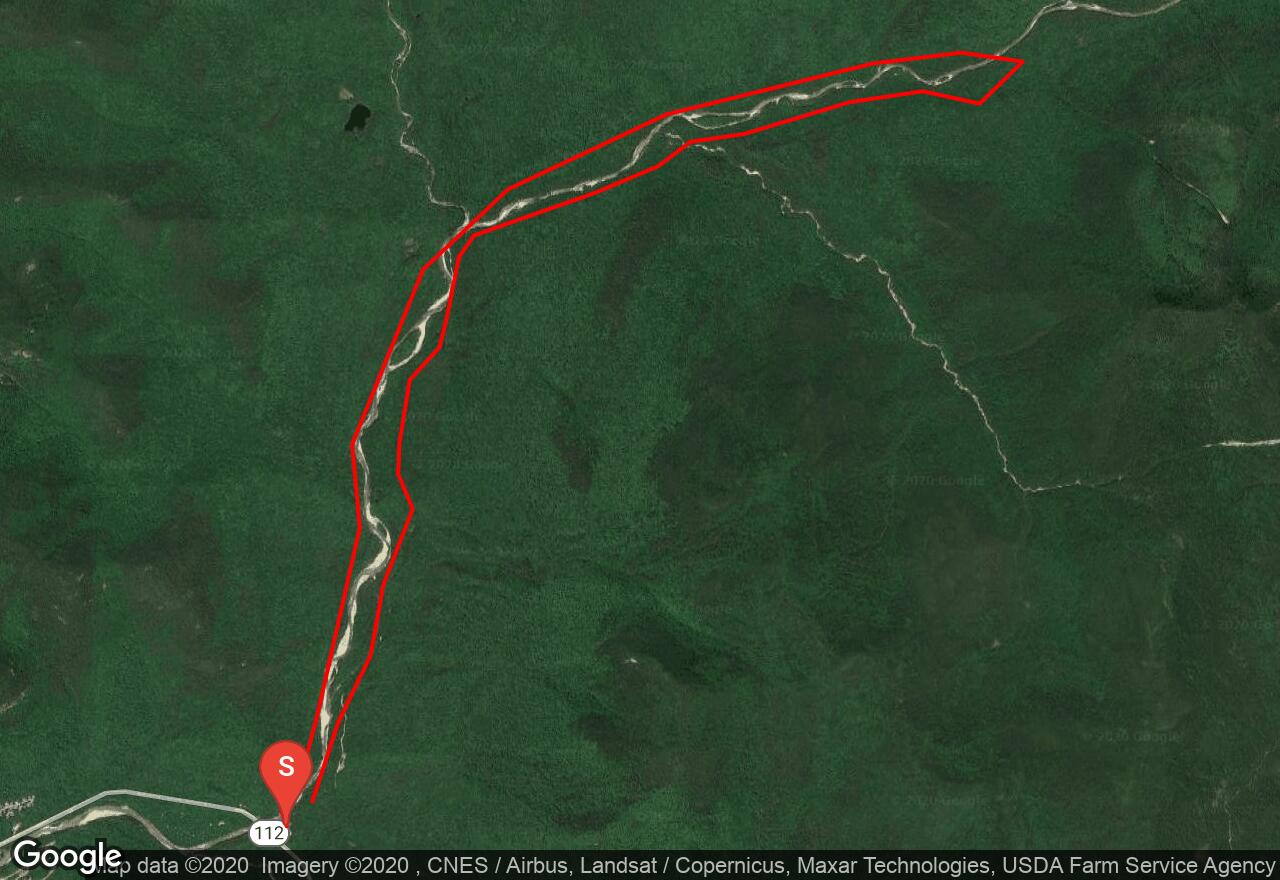
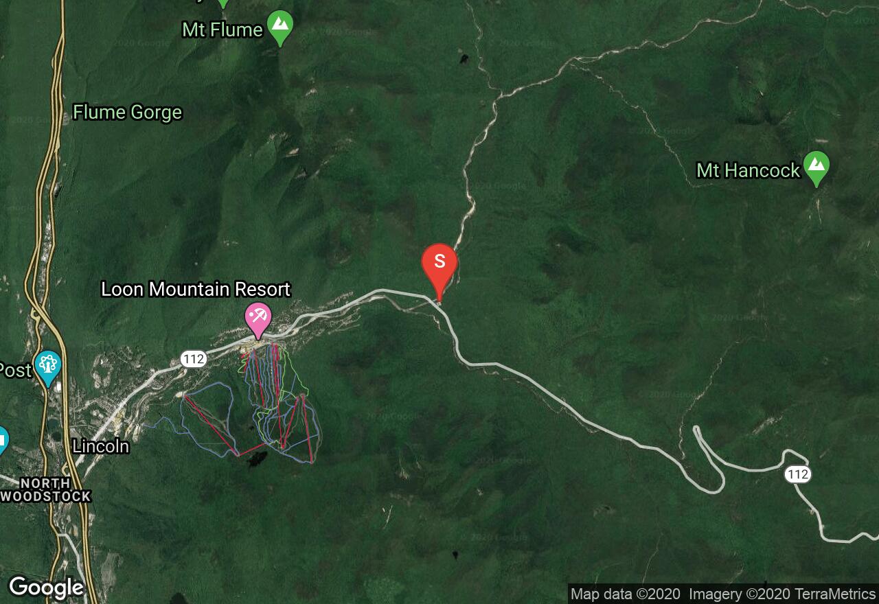
This double track ski outing begins on the Kancamagus Highway and follows the East Branch of the Pemigewasset River into the wilderness of the White Mountain National Forest. The route experiences moderate elevation gain as it reaches its highest point near the foot of Mount Bond. At its furthest extent the trail crosses the river and descends on the other side.
2 photos
Get the app

